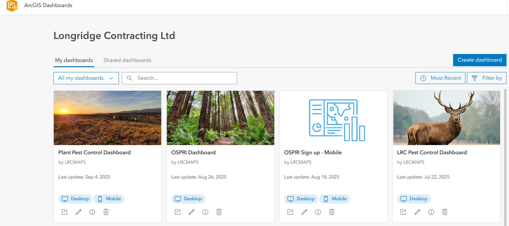
Using GIS Data to Drive Efficiency and Safety
At Longridge Contracting, we’re committed to continuously improving how we operate—prioritising smarter, safer, and more efficient methods to achieve outstanding results. One of the key enablers of this approach is our use of Geographic Information Systems (GIS) data.
Through GIS, we can seamlessly collect, map, and analyze key data, giving us a robust and responsive way to manage pest control efforts across both animal and plant species.
Smarter Pest Control with GIS
Trap Placement & Monitoring
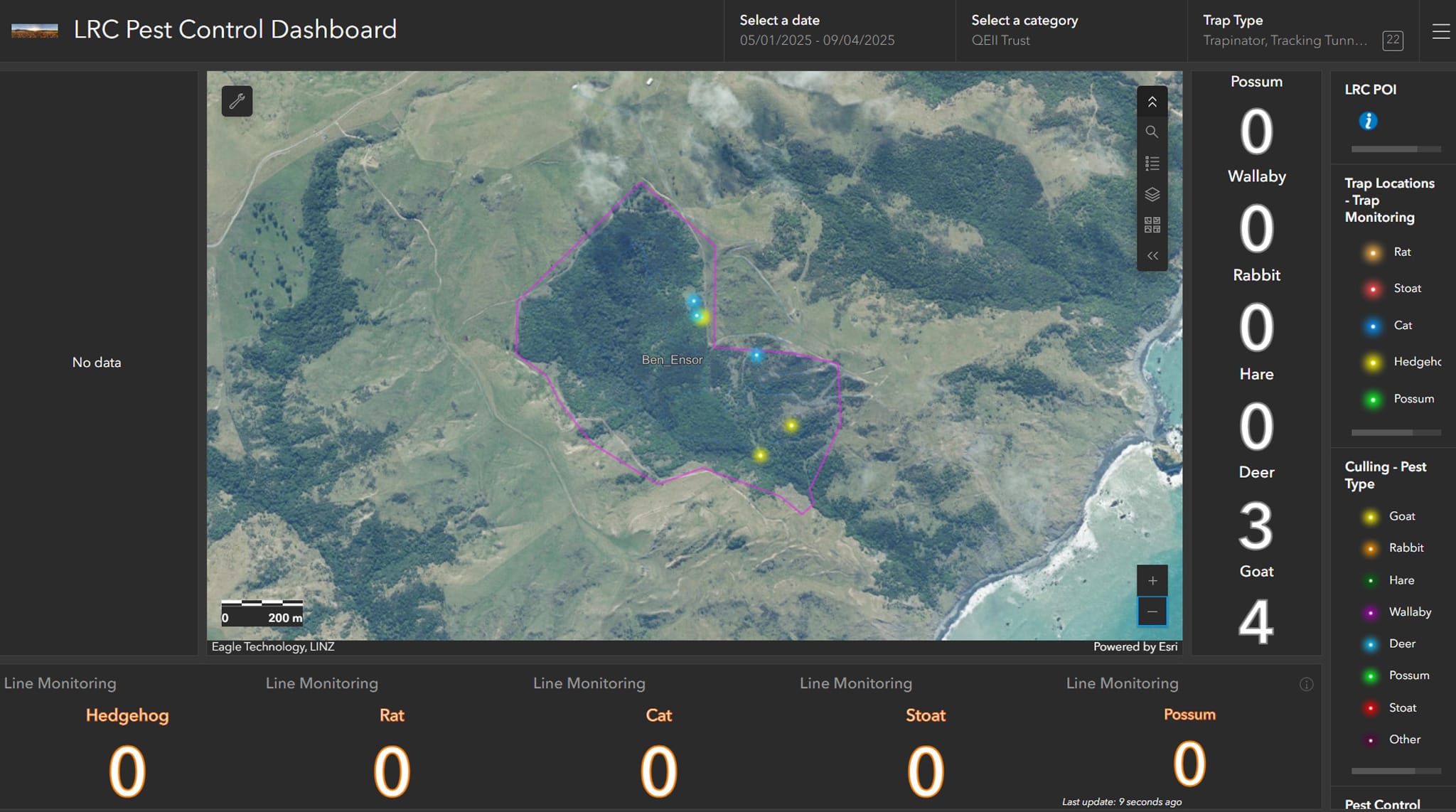
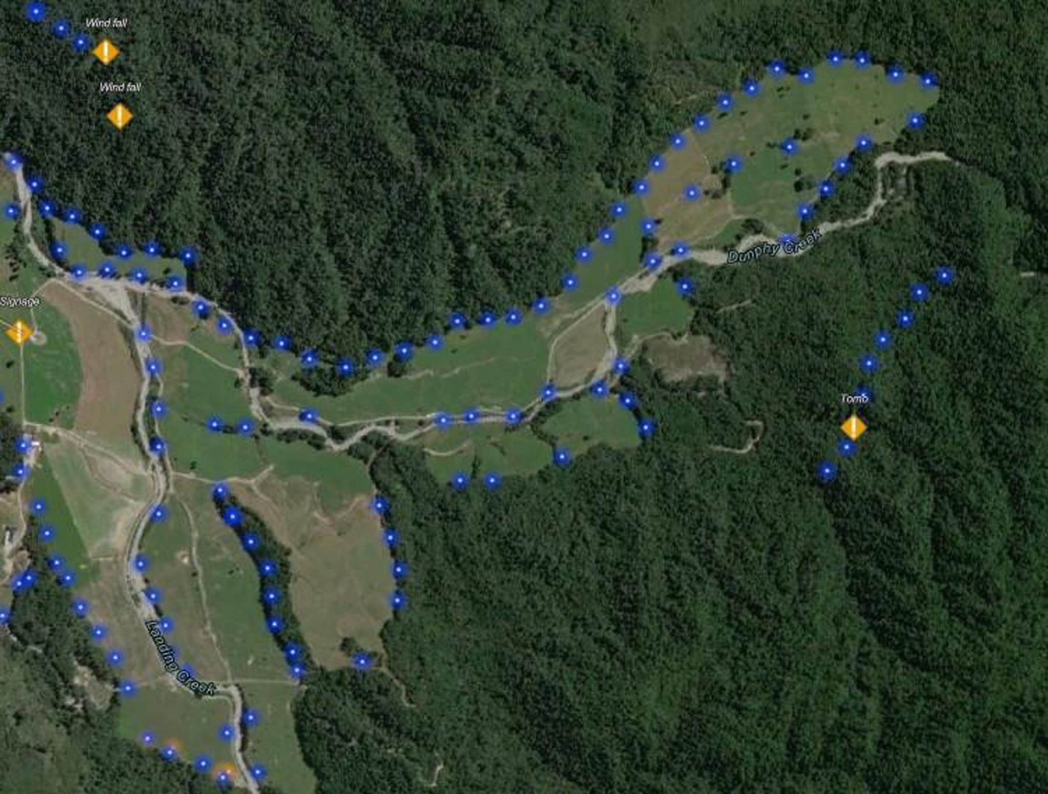
We can record the exact location of traps and bait stations, ensuring full coverage of an area and helping us monitor activity over time. This data also helps us identify patterns in pest behaviour and improve future control efforts.
Pest Plant Mapping
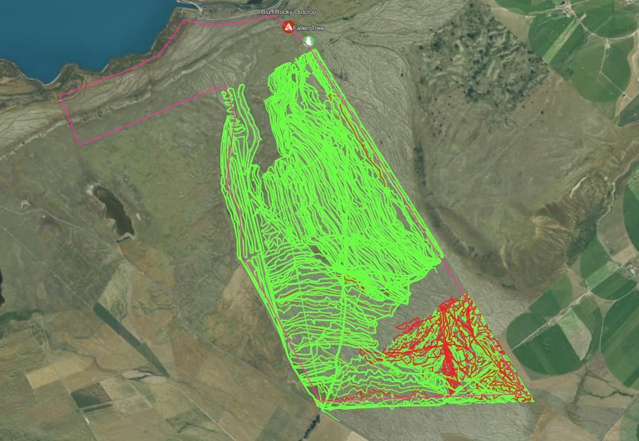
In large-scale pest plant control projects, GIS technology enables us to accurately map treated areas, monitor species removal, and plan timely follow-up interventions. This ensures comprehensive coverage and significantly reduces the risk of pest plant re-infestation.
Enhancing Health & Safety
Hazard Recording
Safety is central to every aspect of our operations. Using GIS, we log the precise locations of potential hazards, including steep terrain, watercourses, and restricted access points. This information is readily accessible to our field teams via their devices, helping them assess risks in advance and make safer, more informed decisions on the ground.
Instant viewing with Shared Up-to-Date Information
Our teams can access and share GIS data in real time, keeping everyone aligned with the most current operational insights while on the job.
Why This Matters to our Clients
By integrating expert fieldwork with advanced technology, Longridge Contracting delivers:
- Smarter, more targeted pest control outcomes
- Clear, transparent reporting with verifiable proof of work
- Industry-leading safety standards across all operations
This is just one example of how we’re investing in innovation to protect and enhance New Zealand’s natural landscapes.
Curious how GIS-powered pest management could benefit your property or project?
We’d love to hear from you.